Bregenz, Austria - the Pfänderbahn
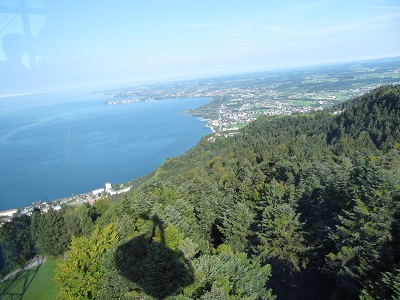
Sept 22, 2012I mentioned yesterday that we were interested in the local gondola lift, the Pfänderbahn. We knew that there are several hiking trails once we get to the top. In fact, should the spirit move us, there are lots of hiking trails TO the top as well. But we thought it would be cool to do the ride. Here is one view from the gondola, showing the shadow of the gondola, and Germany in the distance.
Here is one movie that I took going up.
And another.
And another.
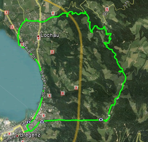
Now, more about the hiking that we did. First, here is the Google Earth view of our hike - the total distance was over 17 kms, with about 2 of those taken up by the gondola ride, so it was only a 15 km hike. Of particular interest is that orangish line marking the Autobahn. Notice that our track, the green line, crosses the Autobahn twice. Now, as we were coming down the trail on the north end of the track, we did see the Autobahn in the distance. We also hunted for a geocache that appeared to be right close to the Autobahn, according to our GPSs. But when we got close to the cache, there was no Autobahn. Some time later, in fact, an embarrassingly long time later, it clicked that there was probably an Autobahn tunnel right under us at that point.
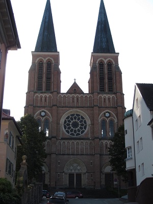
Near the beginning of our trek, we came across this church. At the end of our trek, those two spires guided us home, or at least back to the hotel.
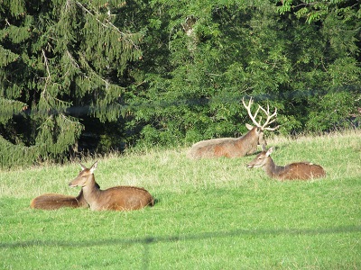
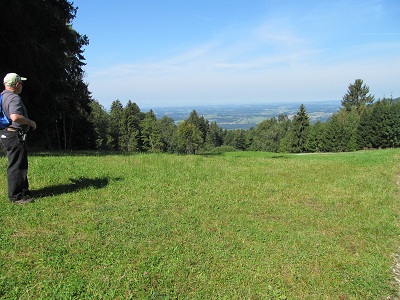
At the top of the gondola, we saw these animals. There is a touristy animal farm there, which we ignored.
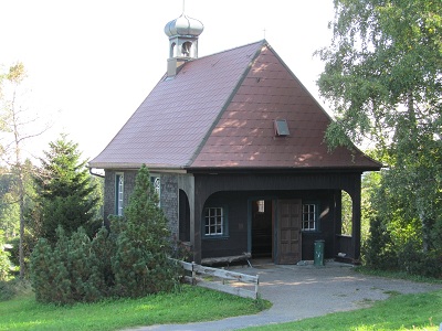
Another church, this one kind of small.
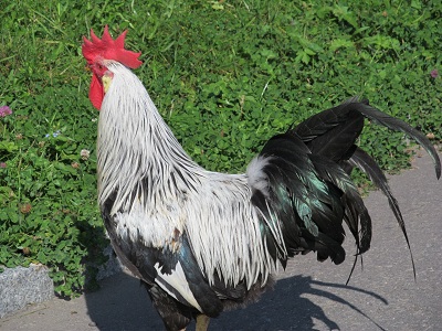
A rooster. I was quite taken with his iridescent green tail feathers.
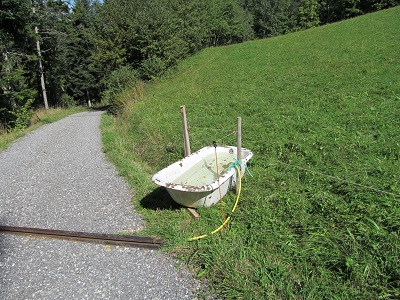
There were a lot of cows. And sometimes they need to drink water. And sometimes a farmer has to be inventive in creating a water trough for the cows.
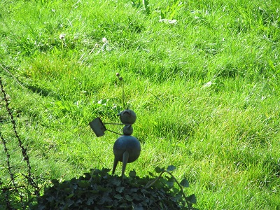
We came upon a collection of beehives, and this little statue, about a foot tall.
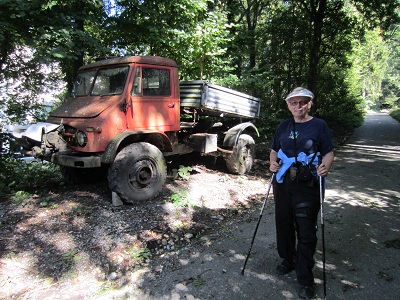
We came upon this derelict truck, and Stephen decided that it was time for the requisite I-was-here photo.
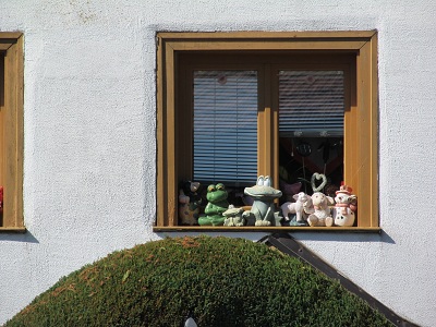
There was a fascinating house with many windows, with each sill containing assorted ceramics like this.
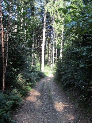
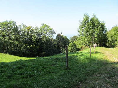
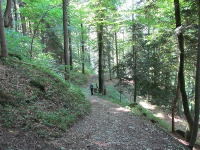
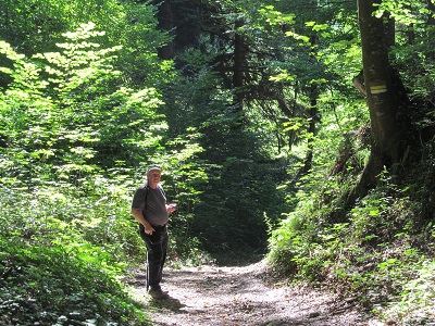
The trail itself had a lot of variety: pavement, gravel, dirt. Needless to say, the trail was pretty well all downhill. Now, downhills are not my strong suit. My doctor has told me that I can only go hiking if there are no downhills. My knee replacement surgeon has told me that I am not permitted to walk for exercise, especially downhill. So there we were, going downhill, but the slope wasn't that bad. Until Stephen discovered a little shortcut, where in the space of travelling 117 meters, we also descended 40 meters. That really really hurt! I must not do that again! These shots show some of the trail.
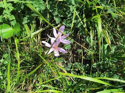
And here is a flower. Because I always have to have a photo or two of flowers.
When we got back to civilization, after about 12 kms of walking, we really wanted something to eat. The only place that we found was a fairly posh hotel (of course, we knew that in a few blocks, we would probably find several other eateries, but we needed some sustenance!). The menu showed some fairly pricey food, but we figured that it would be our last meal of the day, so it wouldn't matter that much. But it turned out that we had landed there between lunch service and dinner service, so all we got was snack service. So we each had a club sandwich, a special dessert. and drinks, and forked over about 55 Euros! Wow! After our meal, it was another 3 kms to get back to the hotel, where I completely faded. My knees really really hurt right now. I'm so glad I brought the Tylenol Arthritis!! No idea what tomorrow's plan is. Hopefully, it's easier on the knees. |
